Guangfu Recovery
A living Common Operational Picture for a whole township’s recovery.
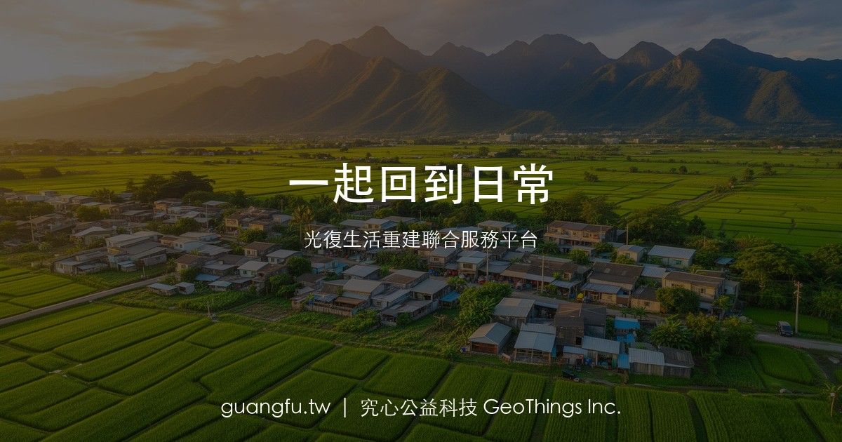
In September 2025, an overflow of the Mataian River barrier lake flooded Guangfu Township in Hualien, Taiwan. Tens of thousands of volunteers — the “shovel heroes” — answered the call, and the recovery continues into 2026.
GeoThings built guangfu.tw, the Guangfu Life-Reconstruction Joint Service Platform, on geoBingAn. Residents and field teams report through the geoBingAn LINE assistant, and their updates flow into a shared, public Common Operational Picture — an interactive service map where 12+ partner organizations and 18 active groups are visible by what they do and where.
An AI engine auto-aggregates 35 information sources — the Water Resources Agency, the county government, news wires — into a weekly recovery report, and surfaces flood-season risk warnings ahead of Taiwan’s May–October rains. Because every record is structured to GeoThings’ open disaster ontology, the data stays machine-readable and interoperable across agencies.
The platform openly tracks NT$1.4 billion+ in donations by source, alongside recovery metrics: 450,000+ volunteer person-times, 68 hectares of farmland replanted, and a steel bailey bridge reopened in January 2026. This is COP-in-action — the theory of one shared map, lived by an entire community.