Japan · 2024
Mt. Fuji Safety Map
Data collection and visualization for volcanic disaster drills.
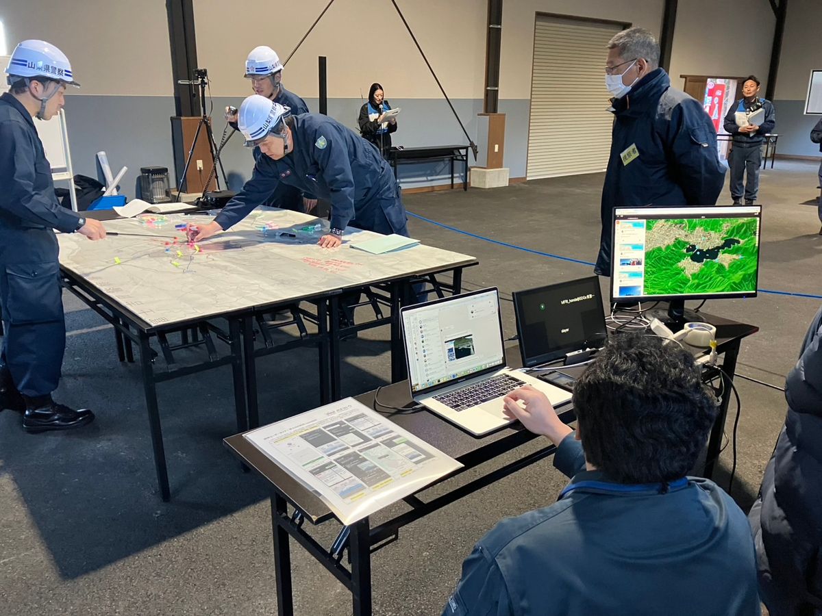
At Mt. Fuji, geoBingAn plays a critical role in disaster drills. Through real-time data collection and visualization, the platform helps ensure swift, coordinated responses across agencies.
Field teams capture geotagged observations that flow into a shared common operational picture, so coordinators can see conditions as they evolve and direct resources with confidence.
The Mt. Fuji programme is part of GeoThings’ ongoing work with Japanese partners on community safety mapping and preparedness.